Bluff Knoll, WA
March 2024
Bluff Knoll is in Stirling Range National Park – which is about an hour’s drive from Albany, but only 30 minutes from Porongorup National Park, where we had just finished a morning walk. Our plan was to drive north for 30 minutes, eat lunch, and then hike up to the top of Bluff Knoll.
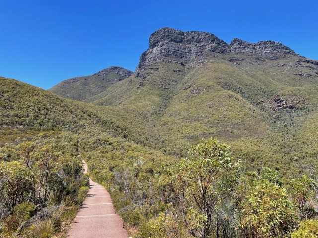
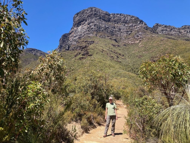
Stirling Range National Park turned out to be a lot more wild and dramatic than Porongorup, and we even saw emus crossing the road on the way in. We arrived at the start of the trail, and found a perfectly located bench for a view of the mountain and lunch.
The trail to the top is around 3.5km long and the summit is at 1098m above sea level. The summit is in fact the coldest place in Western Australia! (Which is actually not very cold by world standards… one of the few places in Western Australia where it snows every now and then). The total ascent is around 700m of climbing, so it’s a fairly steep trail.
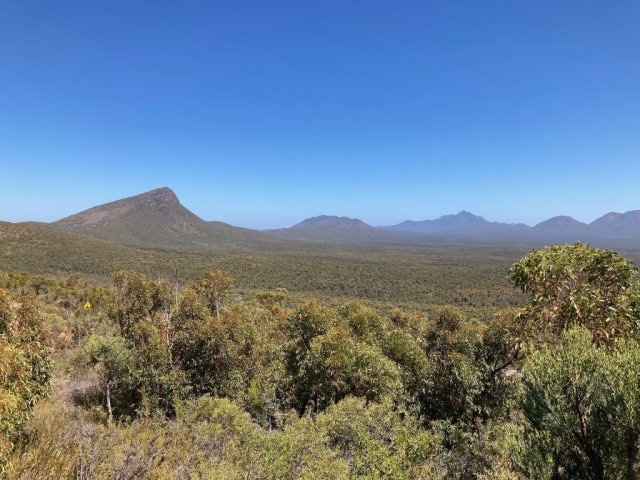
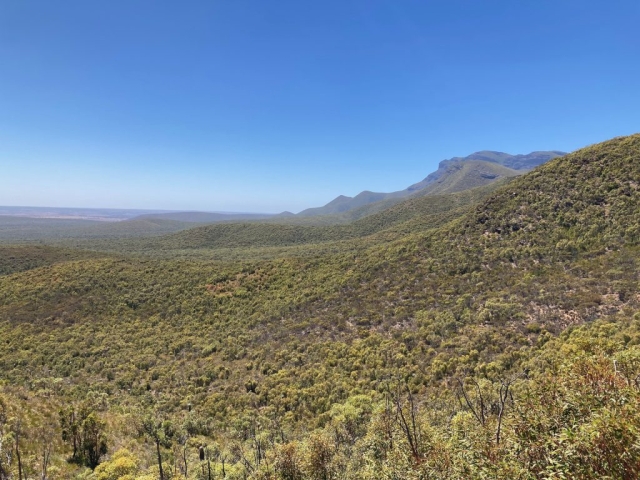
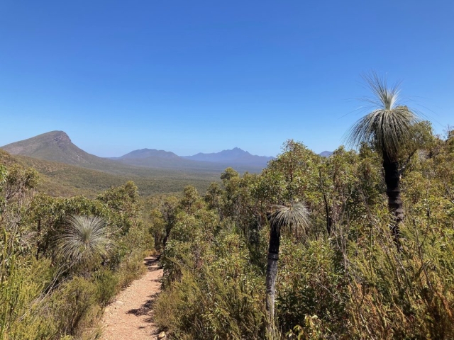
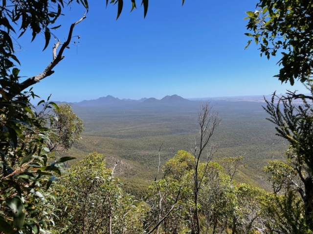
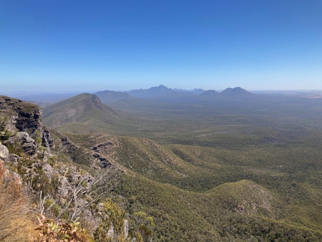
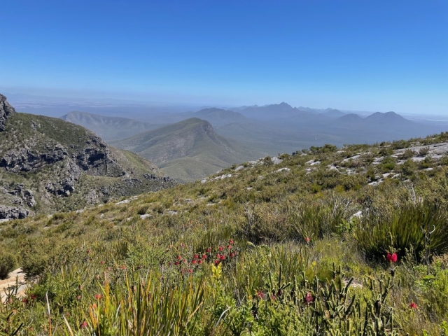
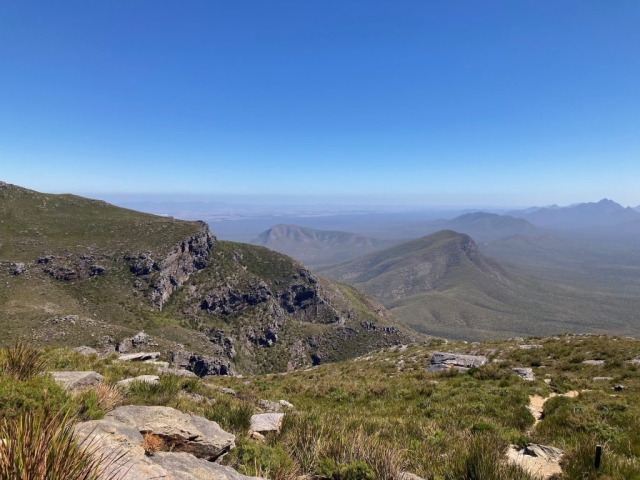
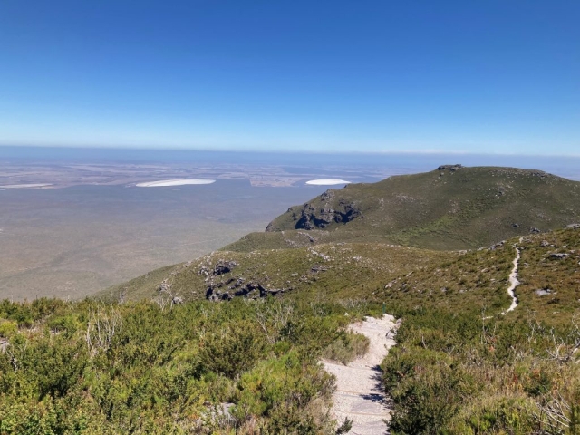
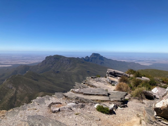
We set off at about 12.30pm and reached the top at just after 2pm, and the views on the way up were excellent. The mountain is known for being extremely windy and with very changeable weather, and there is a warning sign near the top to turn back if the weather looks dodgy. There has been a couple of deaths and there are about five rescues a year (mostly in the winter).
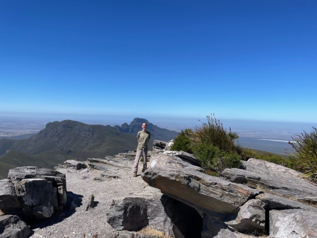
We had a lovely sunny day, but it was indeed very windy on the final stretch. After a rest and a snack at the top we descended on the same trail and were back at the bottom by 4pm.
