Mount Direction, TAS
January 2023
Mount Direction was not really a day trip – more like an evening trip. It was a five minute drive from our place in Hillwood, and was the closest place to walk that wasn’t either the motorway or a winding country lane scattered with roadkill…
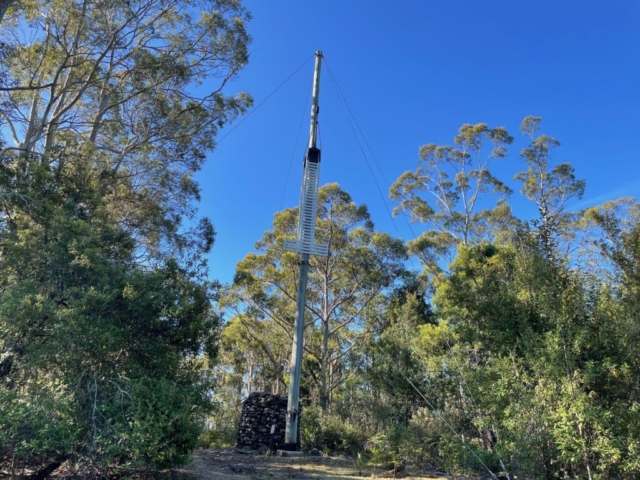
So on the days that we didn’t go further afield after work, we went to Mount Direction – which is a ‘historical’ reserve, because it is the site of an old semaphore signal station, which was used in the olden days to send messages between Launceston and the coast via a series of hills with semaphore signals erected on top of them.
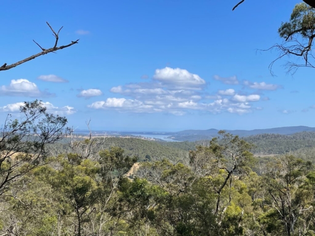
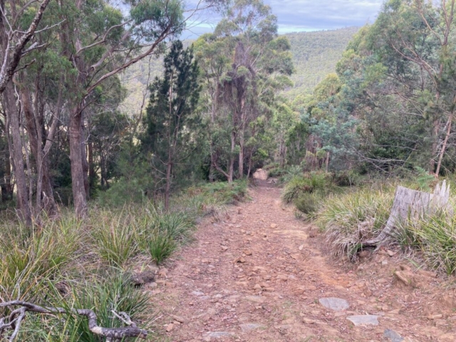
The trail up to the top of the hill was actually pretty steep and took around 45 minutes at a brisk pace. There were patchy views and of course the old semaphore station stuff to look at.
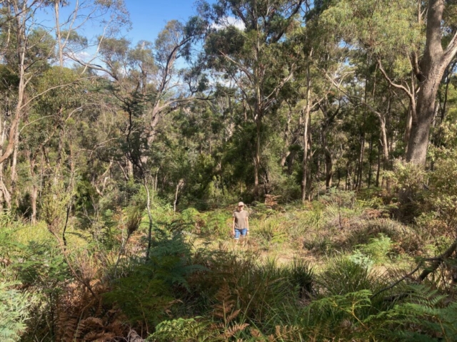
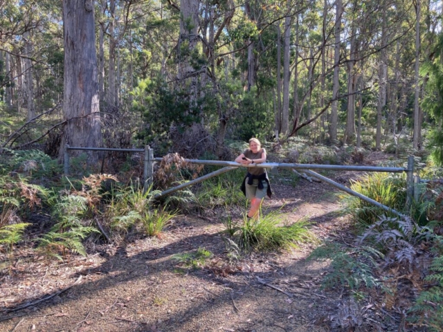
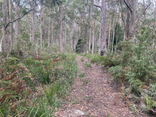
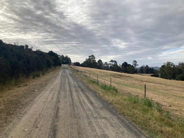
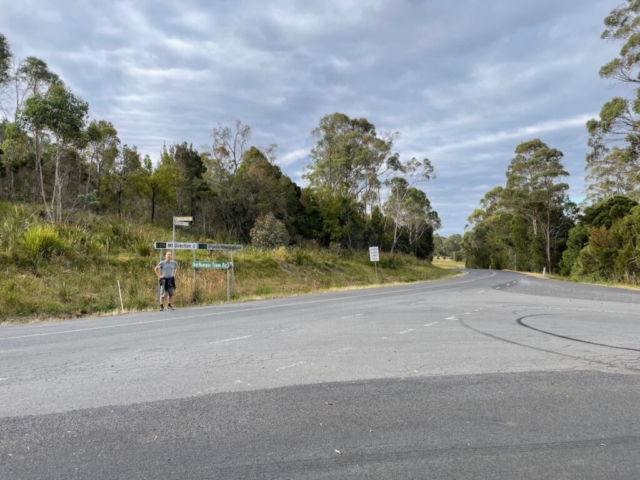
We went up there four times in total during our ten day stay, and one of those times we decided to get adventurous and we followed an unmarked track down over the other side of the hill. We put our trust in the Maps.me app which told us that we could follow various trails for about 35 minutes and we would come out on a gravel road which we could follow back towards the car park on the other side of the mountain taking around an hour.
The mission was successful, although we were in doubt at times – some of the trails on the app didn’t seem to exist. Luckily for us, the one’s we wanted to use did! 🙂
